The recent publication of the Government’s **English Indices of Deprivation 2025** has highlighted significant socio-economic disparities in Bristol, revealing a troubling landscape of inequality. This report marks the first update in six years, providing a detailed breakdown of deprivation across the city. It shows minimal progress since the last assessment in **2019**, with stark contrasts between affluent and deprived areas.
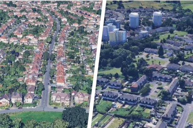
The findings illustrate that Bristol houses some of the wealthiest neighborhoods in England, while also containing regions plagued by severe deprivation. For instance, the most affluent area, located in **Henleaze**, ranks in the top **0.3 percent** of over **33,000** neighbourhoods nationwide. In stark contrast, less than a mile away in **Southmead**, another area is classified among the lowest **three percent** of most deprived locations in England.
Detailed Insights into Socio-Economic Conditions
The Government’s analysis scrutinized various factors affecting community life, including income, employment, health, education, and the quality of the living environment. Each street and home in Bristol was categorized into one of **33,755** neighbourhoods, with **268** distinct areas identified within the city itself. This granular approach reveals the extent of inequality at a micro level, with the latest data indicating that conditions have deteriorated since the last survey.
Six of the eight most deprived areas in Bristol are situated in **Hartcliffe**, a neighbourhood that has become emblematic of urban poverty. The most deprived area, referred to as **Bristol 053E**, ranks as the **211th** most deprived neighbourhood in the country, placing it in the bottom **0.6 percent** nationwide. This specific region stretches from **Fulford Road** to the tower blocks on **Bishport Avenue**.
Nearby areas, such as those around **Morrisons** in Hartcliffe and **Crosscombe Drive**, also fall within the most deprived one percent of neighbourhoods in England. Other regions, including **Withywood**, **Knowle West**, **Barton Hill**, and **Easton**, feature prominently in the least advantaged rankings, further emphasizing the city’s socio-economic divide.
Contrasting Fortunes in Neighbourhoods
Interestingly, the most deprived neighbourhood in the broader Bristol area is not located within the city limits. Two neighbourhoods on the **Bournville Estate** in **Weston-super-Mare** rank among the lowest **one percent** in England. One of these areas is positioned near **Bournville Primary School**, classified as the **86th** most deprived neighbourhood in the country.
Conversely, many areas in Bristol boast exceptional socio-economic standing. The least deprived neighbourhood, located just south of **Southmead Hospital**, is in Henleaze, identified as **Bristol 011B**. This area scored favorably across all measured categories, and only **103** other small areas in England are considered better off.
The report serves as a critical reminder of the challenges faced by many residents in Bristol and underscores the need for targeted interventions to address the widening gaps in wealth and opportunity. As the Government continues to gather and release data on socio-economic conditions, it remains crucial for local authorities and community organizations to leverage this information in efforts to combat inequality and foster inclusive growth throughout the city.