UPDATE: The Met Office has issued a rare ‘thundersnow’ warning as an ‘amber’ alert for snow is now active across parts of the UK, with authorities cautioning about ‘life-threatening’ conditions. This extraordinary weather event is set to impact millions as freezing temperatures grip the nation.
Weather forecasters confirm that thundersnow—an unusual phenomenon characterized by heavy snowfall combined with thunder and lightning—may develop today and persist into Thursday. Such occurrences are rare, typically happening only about 10 times annually worldwide.
The amber snow warning specifically affects North East England (Redcar and Cleveland) and Yorkshire and Humber (East Riding of Yorkshire; North Yorkshire). The Met Office warns of significant snow accumulations, estimating that 15-25 cm may fall on higher ground by Thursday evening, leading to substantial disruption across the region.
“Frequent wintry showers will feed inland from the North Sea, giving significant snow accumulations over the North York Moors and parts of the Yorkshire Wolds,” the Met Office stated.
Alongside this amber alert, multiple yellow warnings for snow and ice are in effect across the UK, impacting Northern Ireland, parts of Wales, and much of Scotland. Authorities report that wintry weather patterns will continue, particularly along coastal areas, with up to 7 cm of snow expected.
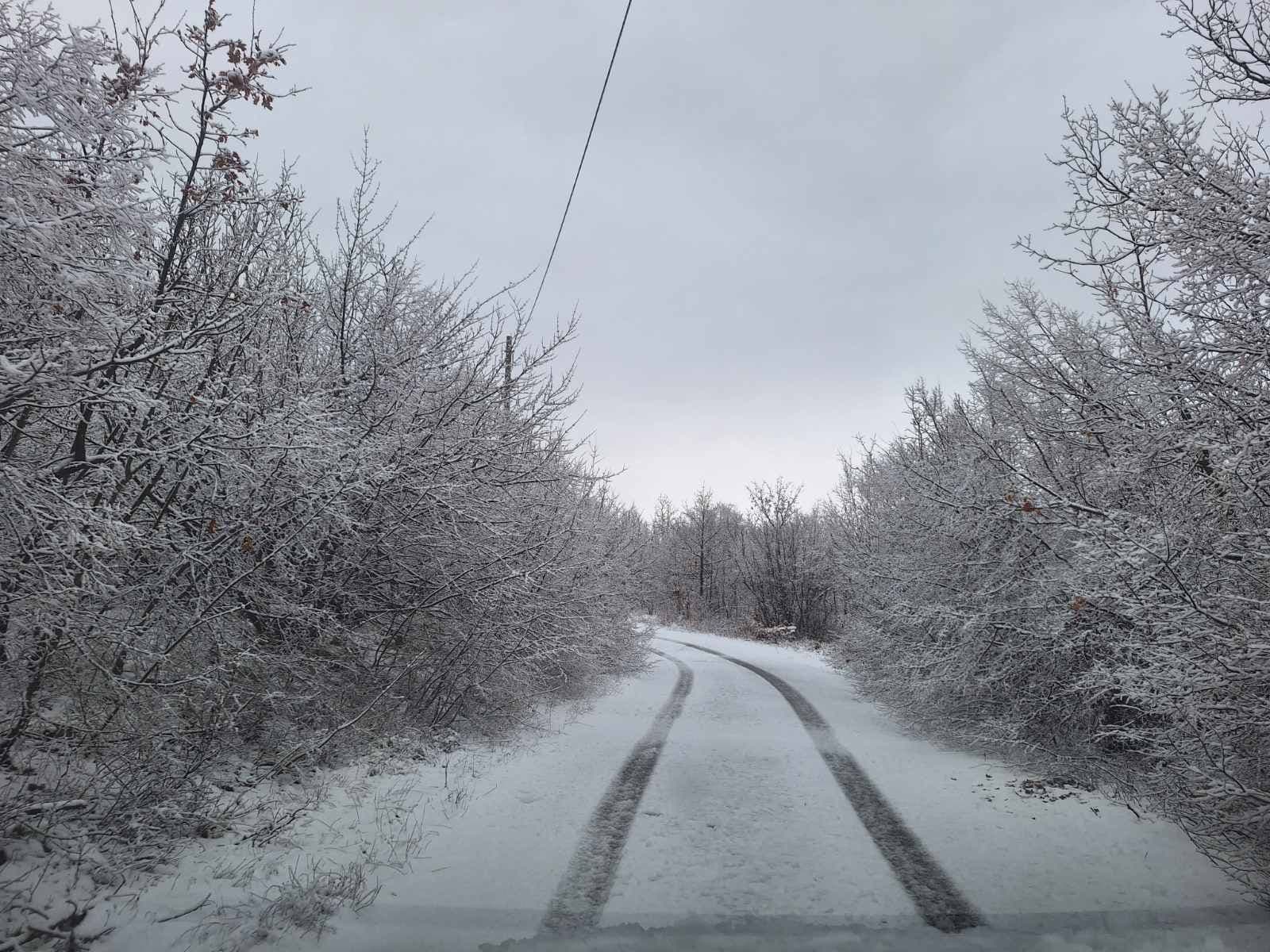
Snowfall has already been reported in various regions, including London, Hertfordshire, Berkshire, Surrey, Essex, Shropshire, and Northumberland. Notably, Lake Vyrnwy in Powys, Wales, recorded 7 cm of snow at 8 AM today. Other areas reporting significant snow include Lerwick in Shetland with 5 cm, and various locations in the Scottish Highlands with 4 cm to 7 cm.
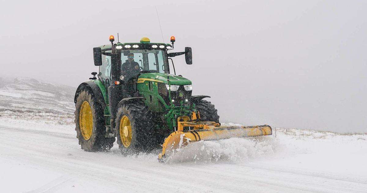
Neil Armstrong, Met Office chief forecaster, emphasized the severity of the situation, stating, “Cold Arctic air from the north is firmly in charge of the UK’s weather, bringing the first notable cold snap of this autumn.” He added that winter hazards like snow and ice are likely to pose risks in the coming days, particularly on Wednesday and Thursday.
As conditions deteriorate, the Met Office warns that while not every area will see lying snow, frequent showers could lead to accumulations of 2-5 cm in many regions. Higher elevations in Scotland may experience even more severe snowfall, with potential accumulations reaching 15-20 cm in some places.
Residents are urged to stay updated on weather alerts and prepare for possible travel disruptions as the Arctic blast continues to impact daily life across the UK. The combination of snow, ice, and strong winds could create hazardous conditions on the roads and in communities.
As the situation develops, stay tuned for further updates from the Met Office and local authorities to ensure safety during this extreme weather event.