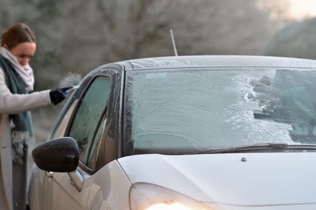
URGENT UPDATE: The UK is bracing for significant snowfall starting Thursday night, with heavy flurries predicted to impact several regions through the weekend. According to forecaster WXCharts, central and northern Scotland will be the hardest hit, particularly areas north of Glasgow and west of Dundee.
Heavy snow is expected to settle overnight, potentially creating hazardous conditions for travelers and residents. This localized snowfall could make some roads impassable, prompting local authorities to prepare for emergencies. Residents in areas like Swansea in Wales should also be on alert, as snow is forecasted to arrive on Thursday night.
Additionally, parts of northern England, specifically around Northumberland west of Newcastle, may experience snow on Friday evening. However, the snowfall is not expected to be widespread across the UK, as other regions will see rain or even clear skies, according to the Met Office.
In their latest forecast, the Met Office reported that on Wednesday night, some areas will experience showers, while others will enjoy clear spells across central and eastern regions. The weather is expected to turn wet and windy for western areas overnight.
Looking ahead to Thursday, rain will move north and east across most of the UK, with brighter conditions developing across southern England, Wales, and Northern Ireland. Experts predict a breezy day with showers continuing in northeast Scotland.
As we head into the weekend, forecasters warn of early fog on Friday, followed by a bright and breezy day with fewer showers. However, further wind and rain are expected to sweep northeast throughout the day. Saturday will see blustery showers while Sunday is expected to bring more rain.
Residents are urged to stay updated on weather alerts and prepare for possible disruptions. As conditions develop, it’s crucial to remain informed about road conditions and safety measures in your area.
Stay tuned for further updates as this story unfolds and prepare for what could be a challenging few days ahead.